|


| |
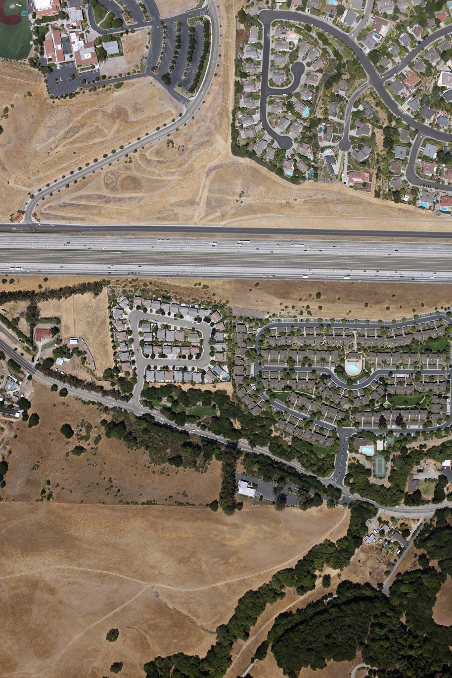
Transportation Sample
|
This image was geo-rectified, merged, and and saved as a Geo-TIF file on an ArcGIS platform using the a DOQQ and Tiger Data base map to get street
centerlines. Registration accuracy of the geo-rectification can be specified by the customer to a limit of 6". |
 | Interstate 580, Pleasanton, Alameda County, California: |
| ImageID : AC1E3V8215 |
| Image Date : 01/11/2009 |
| Image Size : 3744 x 5616 pixels |
| Nominal Pixel size : 8.8" |
| Ground coverage : 2270' x 3486' |
Click on the image to download the original image (Warning - this is a
10MB file!)
|