|


| |
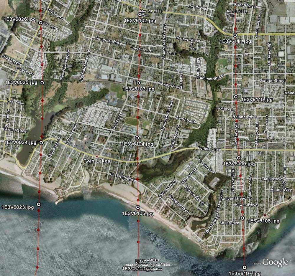
Sample Flight Detail
|
This Google Earth screenshot depicts our North-South survey flight lines over
Santa Cruz, California, in July 2008. These flight lines are 3,170 feet apart,
providing enough overlap for generating mosaics if needed. Each white and black
dot corresponds with an image taken from our aircraft. These dots depict the
actual location above the ground where the camera shutter was actuated. |
|