Home
Oblique Photography
Flight Planning
Sample Flight Path
Sample Flight Detail
Urban Image Sample
Transit Sample
Highway Engineering
ArcGIS Integration
ArcGIS Map Layer
Geo-Rectified Sample
Altitude Comparison
FireFast™
Composite Images
Photo Inventory

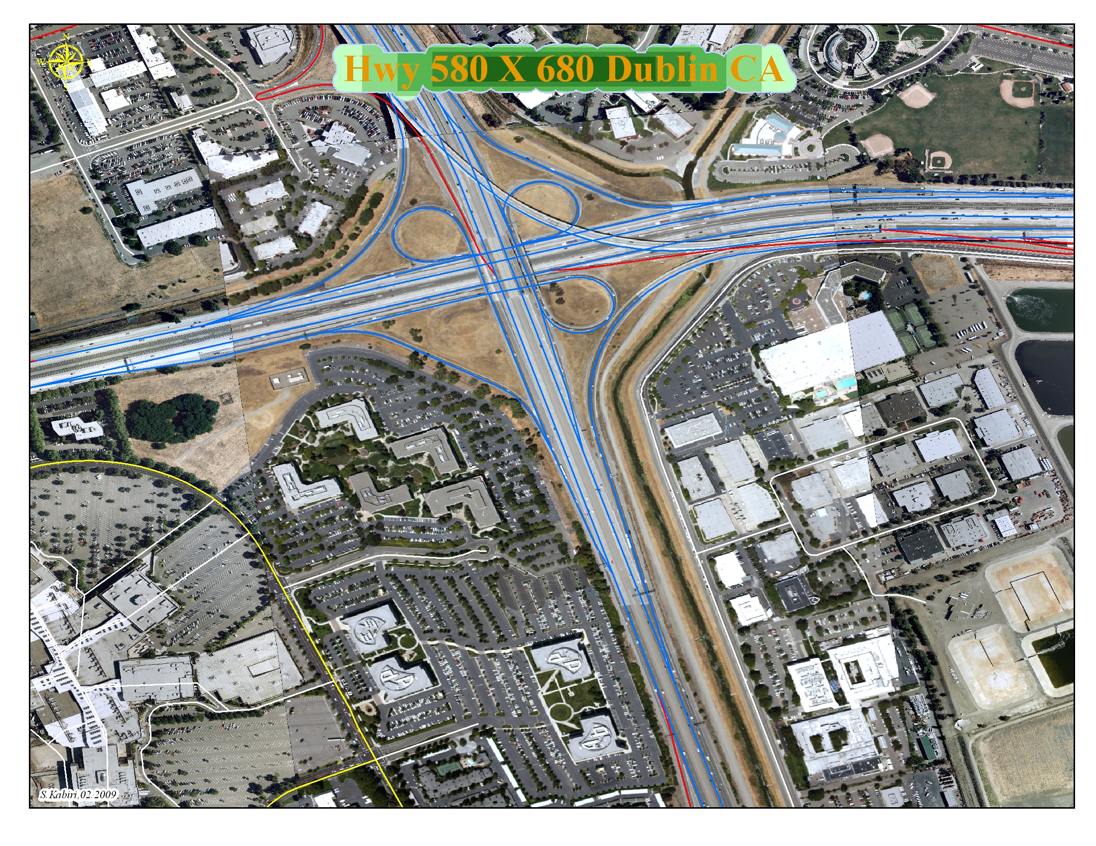
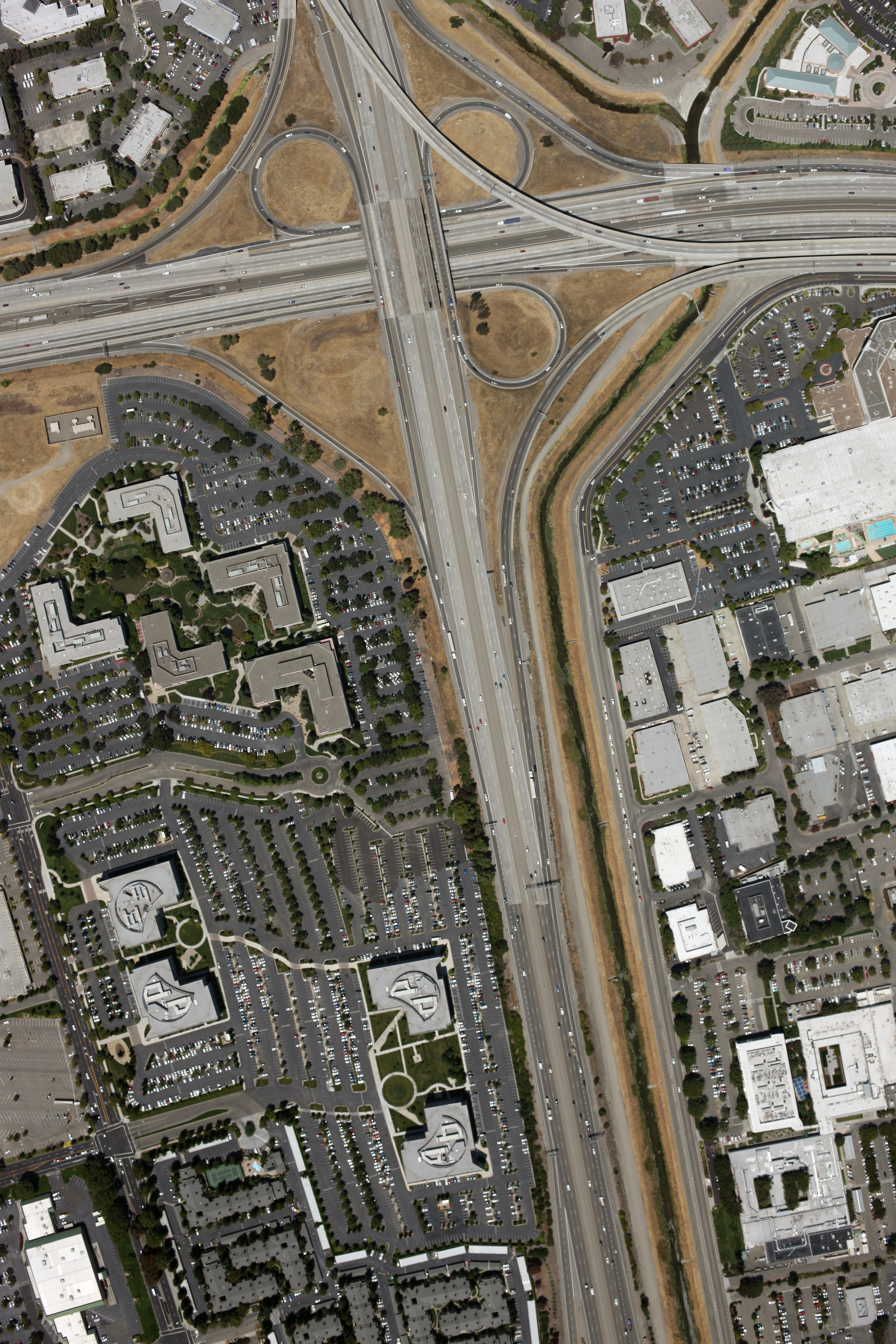
Highway Engineering Map Sample

This image was geo-rectified, merged, and and saved as a Geo-TIF file on an ArcGIS platform using the a DOQQ and Tiger Data base map to get street centerlines. Registration accuracy of the geo-rectification can be specified by the customer to a limit of 6".


bulletInterstate 580 and 680 Junction : Dublin, Alameda County, CA
bulletMap Set ID : AC1E3V8211
bulletImage Date : 08/06/2008
bulletImage Size : 3744 x 5616 pixels
bulletNominal Pixel size : 7.9"
bulletGround coverage : 2478' x 3712'
bulletEye elevation : 5,470'


Clicking on the image above will bring you to the full-sized screen capture image from ArcGIS (including street overlays).


Right click on this link and choose "Save As" or "Save Link As" to download the geo-rectified TIFF (GeoTIFF) image (Warning - this is an 80MB file!).

Right click on this link and choose "Save As" or "Save Link As" to download the original 22 megapixel JPEG input image (~13MB).


Send mail to Webmaster@AerialServices.org with questions or comments about this web site.
Copyright © 2007-2009 Aerial Survey Services, A division of TeamBuilders, Inc.
Last modified: 04/29/09