Home
Oblique Photography
Flight Planning
Sample Flight Path
Sample Flight Detail
Urban Image Sample
Transit Sample
Highway Engineering
ArcGIS Integration
ArcGIS Map Layer
Geo-Rectified Sample
Altitude Comparison
FireFast™
Composite Images
Photo Inventory

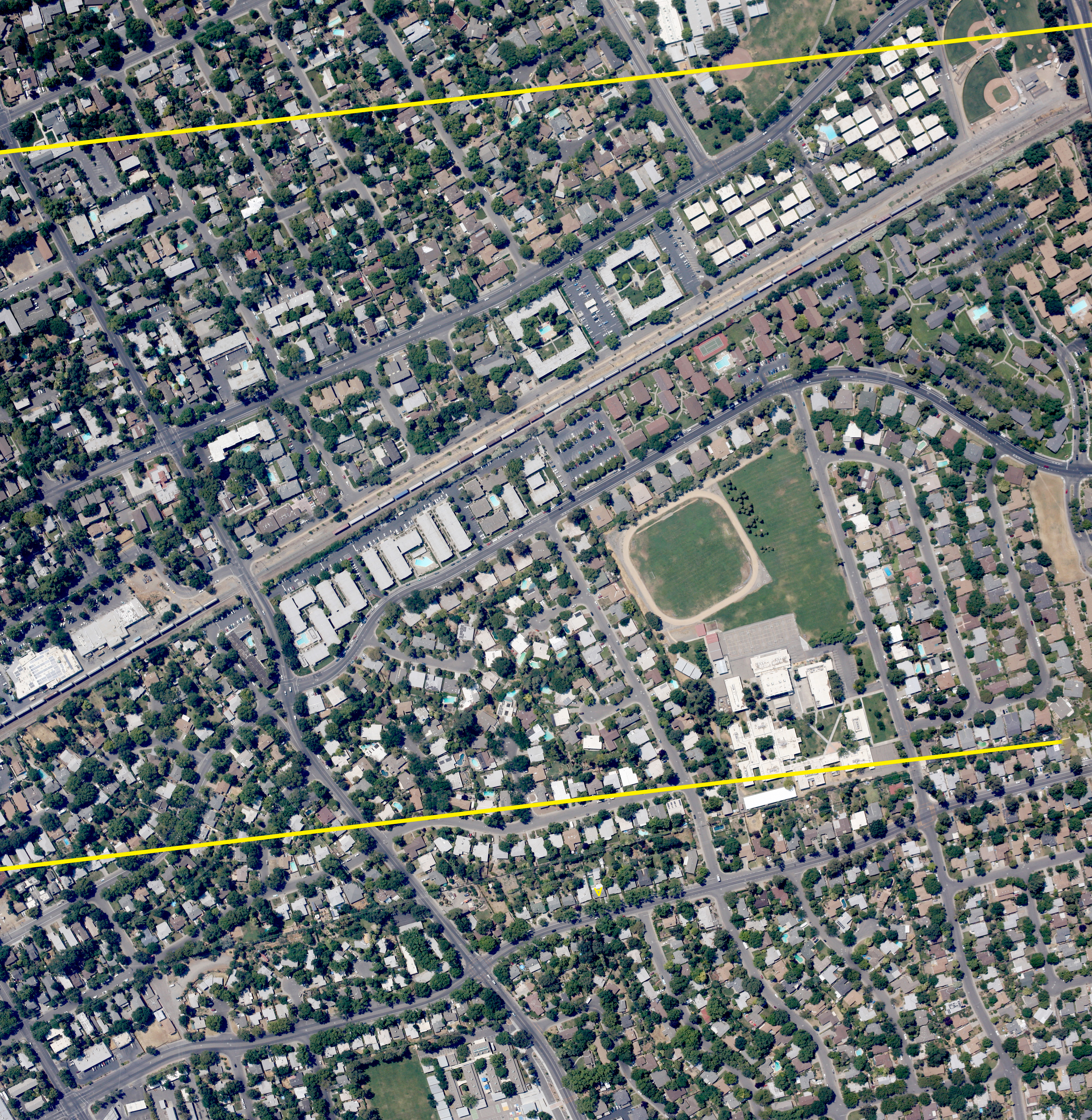
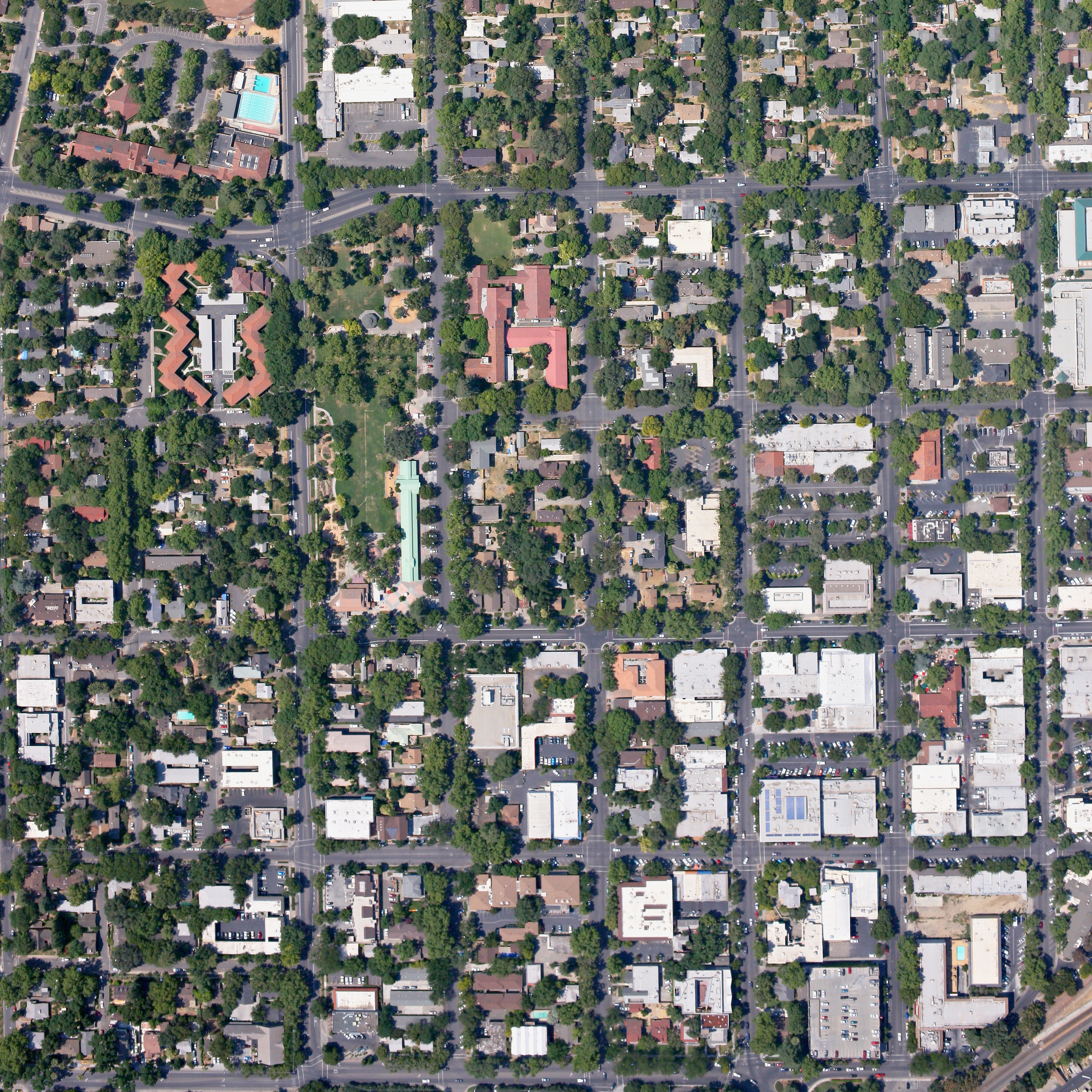
Composite Image Sample

This page demonstrates our image tiling capability. We can stitch mosaics from any range of image batch sizes. The following images were compiled from 2-3 images each, but we have the capability to stitch mosaics from 50 or more source images. Our images, enlarged for print, can cover wall-size or larger areas.

Davis, California Residential - This is a stitched view covering about .6 square miles. The yellow lines were added by our photo-mapping analysts. Click on the image to see a larger version.

Davis, California Business District - This is a stitched view covering about .6 square miles. Click on the image to see the detail.


Images can be taken on a custom basis or ordered from our existing 2007, 2008, or 2009 inventory. Contact us for more information!


Send mail to Webmaster@AerialServices.org with questions or comments about this web site.
Copyright © 2007-2009 Aerial Survey Services, A division of TeamBuilders, Inc.
Last modified: 04/29/09